|
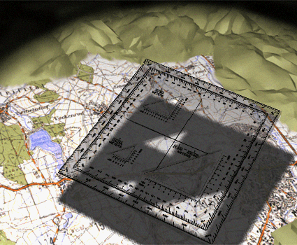
Relate the terrain
features on the ground
to those shown on the
map. After you have
determined where the
terrain features on the
ground and those on
the map coincide,
determine the
coordinates of your
location using the
coordinate scale and
protractor.
| 